Barcelona
Public transport around you in Barcelona
Marquesina brings the stops and stations around you in Barcelona onto one map. Compare the next metro, bus, tram or train and check whether a shared bike is available without switching between several apps.
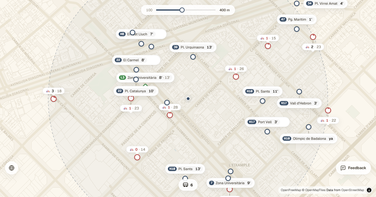
Metro, bus, tram and rail on one map
Barcelona's network combines many operators and modes. Marquesina places TMB Metro and buses, NitBus, TRAM, Ferrocarrils de la Generalitat and Rodalies on the same map. Each stop shows its lines so you can quickly recognise which option gets you closer to your destination.
- TMB Metro and urban buses.
- NitBus night services.
- TRAM, FGC and Rodalies de Catalunya.
- Bicing stations with available bikes and docks.
Next arrivals based on your location
When you allow location access, the map centres on your position and organises information within your chosen radius. Stop labels show upcoming arrivals when the public source supplies live data; when it does not, Marquesina identifies the time as scheduled.
You can expand the radius from 100 to 800 metres, filter by transport mode and tap a line to highlight only its stops. This is particularly useful around Plaça Catalunya, Sants or Glòries, where several networks meet.
How to plan your next leg
- Open the map and allow location access, or select Barcelona as a test location.
- Adjust the radius to show only options within walking distance.
- Turn metro, bus, tram, rail, FGC and bike services on or off.
- Tap a stop to see all its lines and next arrivals.
Marquesina is an installable web app. Add it to your phone's home screen and open the map directly whenever you need to decide how to continue your journey.