Zaragoza
Public transport around you in Zaragoza
Marquesina places Zaragoza's bus and tram stops, Cercanías stations and Bizi bike sharing service on the same map. The view starts from your location and shows the options that are genuinely within a few minutes' walk.
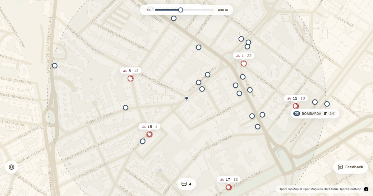
Zaragoza's transport in one place
Instead of checking each network separately, you can see city bus routes, Zaragoza Tram line 1 and nearby Cercanías stations within your chosen radius. Colours and symbols distinguish every mode while keeping the surrounding streets visible.
- Zaragoza City Council urban buses.
- Stops on tram line 1.
- Zaragoza Cercanías stations.
- Bizi stations with available bikes and free docks.
Arrival times without leaving the map
Stops show their lines and upcoming arrivals whenever the information is available. Open a card for more detail or tap a line to reduce visual noise and keep only the stops connected with that service.
The adjustable radius works both in the city centre, where many alternatives cluster together, and in neighbourhoods where it helps to know whether another stop is worth the walk. If one source temporarily fails, the app keeps the remaining modes visible.
Combine public transport and Bizi
Bizi stations use the same filter as the rest of the transport network. Each marker summarises the bikes and docks left, helping you connect a tram or bus journey with the final leg by bike.
- Allow location access or select Zaragoza as a test location.
- Set the radius to the distance you are willing to walk.
- Filter buses, trams, Cercanías or shared bikes.
- Add Marquesina to your home screen to keep it close at hand.