Madrid
Madrid public transport on one map
Marquesina helps you understand Madrid's transport from wherever you are. It brings together nearby Metro, EMT, light rail and Cercanías stops, plus BiciMAD stations, so you can compare alternatives at a glance.
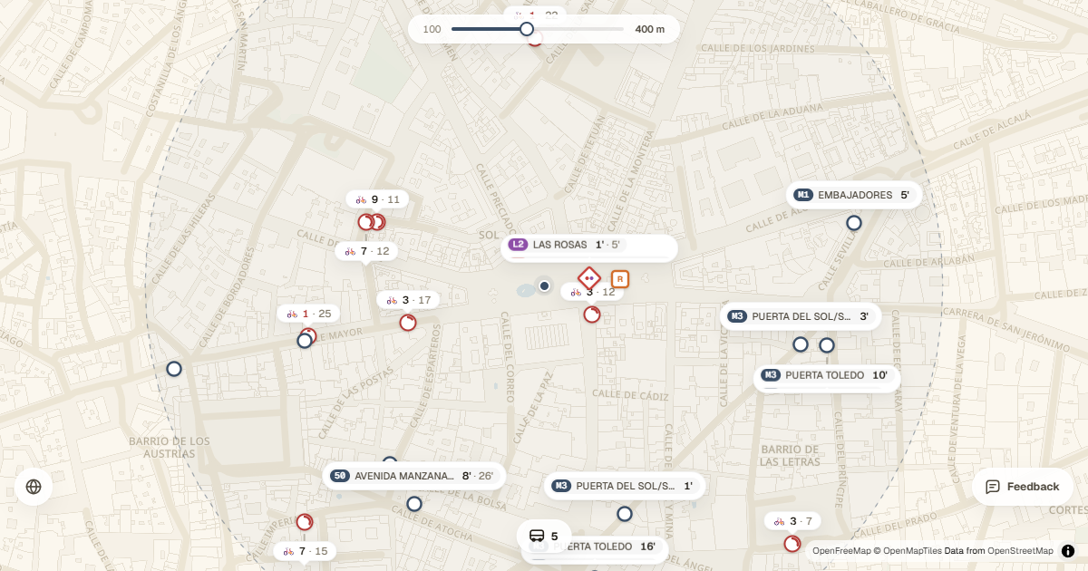
Transport available across Madrid
The city and its metropolitan area layer several very different networks. Marquesina gives every mode its own colour and keeps line names and numbers visible, helping you distinguish an EMT stop from a Metro or Cercanías station without leaving the map.
- Madrid Metro and light rail.
- EMT Madrid urban buses.
- Cercanías Madrid stations.
- BiciMAD, with available bikes and docks at each station.
Compare upcoming arrivals
Map bubbles summarise lines and their next arrival times. Tap a stop to expand the details, see whether the information is live or scheduled and filter the map by the line you need.
The adjustable radius keeps distant options from filling the screen. A short radius is useful at busy interchanges such as Sol or Atocha; a wider one lets you compare stops several minutes away on foot when services are more spread out.
From the train to a shared bike
BiciMAD stations appear alongside public transport and show mechanical or electric bikes and free docks. You can decide whether the last leg will be quicker on foot, waiting for a bus or cycling.
- Allow location access or select Madrid as a test location.
- Choose a radius between 100 and 800 metres.
- Hide any transport modes you do not want to compare.
- Install Marquesina on your home screen to open it like an app.